A guide to bicycling routes in Northwestern Connecticut:
Tough climbs, pancake-flat stretches, dirt roads, scenic views, smooth pavement, farms, waterfalls, small villages – the Housatonic Covered Bridge Trail – the Houbike Trail, for short – has it all. The descriptions of the Trail start at the northern terminus in Ashley Falls, Massachusetts and heads south to New Milford.

A few notes of explanation – and caution – are in order.
- The trail is along existing roads. It does not include any dedicated bike paths.
- Obey the traffic laws! Under Connecticut law, bicycles are vehicles and must obey the traffic laws including stopping at traffic lights and riding on the right hand side of the road.
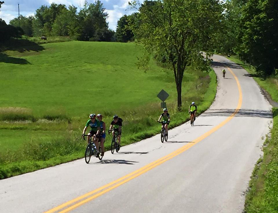
- Wear a bicycle helmet! And wear it properly!
- Route 7 should be avoided unless you are an experienced cyclist who is comfortable riding along highways with fast moving traffic and minimal shoulders.
- The route is a mix of paved roads and dirt roads. Unless the description below states otherwise, road bikes are not recommended on the dirt roads.
- The good news is that the area is rural. The bad news is that services are limited. You should be sure to carry sufficient water and energy bars with you. Stock up when the opportunity presents itself.
- Cell phone service ranges from limited to non-existent. Don’t count it being available.
There are numerous lightly traveled roads branching off of the routes described. Explore and enjoy!
The HouBike Trail links existing river roads next to or near the Housatonic to produce a continuous 45-mile multi-use biking and hiking route from Mass/CT border (Bartholomew’s Cobble in Ashley Falls, MA) to the center of New Milford.
- Download PDF maps and cue sheets here.

The route includes approximately 35 miles of existing publicly maintained paved and dirt roads directly adjacent to the Housatonic. The additional 10 miles is on roads that are not adjacent to the Housatonic.
Enjoy the breathtaking beauty of the Housatonic River Valley. The route runs along the river for approximately 45 miles through scenic areas of Salisbury, Canaan (Falls Village), Cornwall, and Kent, and New Milford. The route will be across the River from North Canaan and will pass through parts of Sharon.
Low volume-low speed roads, ideal for walking and biking, already parallel the river for 35 miles, and originally existed for the full 45 miles. These “River Roads,” as most are named, were the original routes chosen for relatively level travel by horses and wagons. Some of the roads remain gravel; they see little car traffic, and they offer intimate views of the River.
The river roads meander through varied parcels of state, national and locally preserved land and also provide access to the centers of Falls Village, West Cornwall, Cornwall Bridge, Kent, and New Milford.
View and print!
View and print these bike route maps for a great experience.
HOUBIKE CUE SHEET
R – Right Turn S – Straight BL – Bear Left
L – Left Turn TL – Traffic Light BR – Bear Right
SS – Stop Sign Y – Yield Sign
Distances are in miles and are approximate.
Total Distance measured from start in Ashley Falls and traveling south.